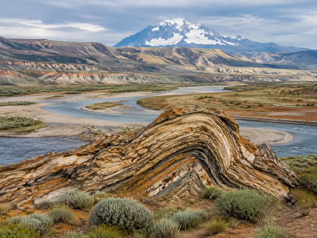
Three plate boundaries, three cross-sections, one prompt — this is earth science's gift to AI illustration: big structures, stable vocabulary, canonical layouts. Below are 20 prompts covering tectonics, volcanoes, surface processes, the water cycle and the rock cycle, each with its labels and the specific fact to verify.
Open the earth-science presets · Full workflow · All 30 examples
Plate tectonics
1. Three boundary types
A triple cross-section comparison of tectonic boundaries: divergent plates pulling
apart with rising magma, convergent subduction with trench and volcanic arc, and
transform plates grinding past each other with a fault line. Label "DIVERGENT",
"CONVERGENT", "TRANSFORM", "SUBDUCTION", "RIFT". Title: "BOUNDARY TYPES".
Verify: the transform panel must show horizontal offset — road, fence or stream displaced across the fault.
2. Subduction zone anatomy
A detailed subduction cross-section: oceanic plate bending into the trench, slab
descending into the mantle, water released triggering melt, magma rising through
the overriding plate to a volcanic arc, and earthquake-depth dots coloring the
slab. Label "TRENCH", "SLAB", "DEWATERING", "MAGMA", "VOLCANIC ARC".
Title: "THE SINKING FLOOR".
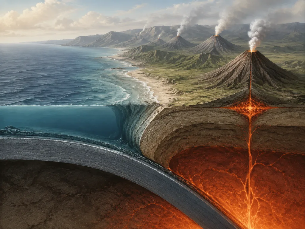
Verify: earthquake dots deepen along the slab (the Wadati-Benioff zone); the volcanic arc sits inland of the trench.
3. Volcano internal structure
A stratovolcano cutaway from crater to magma chamber: layered lava and ash strata,
central conduit, branching dike and horizontal sill, and convection swirls within
the chamber, eruption column above. Label "CRATER", "CONDUIT", "DIKE", "SILL",
"MAGMA CHAMBER". Title: "ANATOMY OF A VOLCANO".
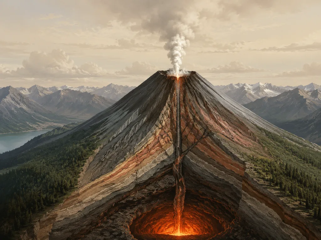
Verify: dikes cut across strata, sills run between them — the one distinction this figure exists to teach.
Surface processes
4. Glacier motion and moraines
A valley-glacier figure in three layers: surface crevasses, internal flow lines
faster at the center, and basal till deforming beneath; lateral and terminal
moraines forming at the edges and snout, with a mass-balance inset.
Label "CREVASSE", "FLOW LINE", "BASAL TILL", "LATERAL MORAINE", "TERMINAL
MORAINE". Title: "RIVERS OF ICE".
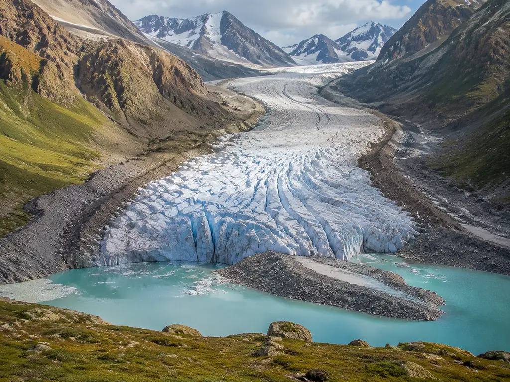
Verify: flow fastest at the center-above, slowest at the walls and bed; crevasses belong on the surface, not the interior.
5. River delta types
A comparative geomorphology figure of three delta shapes: bird-foot delta with
extending fingers, arcuate delta with smooth bow, and estuarine delta drowned in
a funnel, each with wave, tide and river-force arrows sized by dominance.
Label "BIRD-FOOT", "ARCUATE", "ESTUARINE", "WAVES", "TIDES".
Title: "DELTA SHAPES".
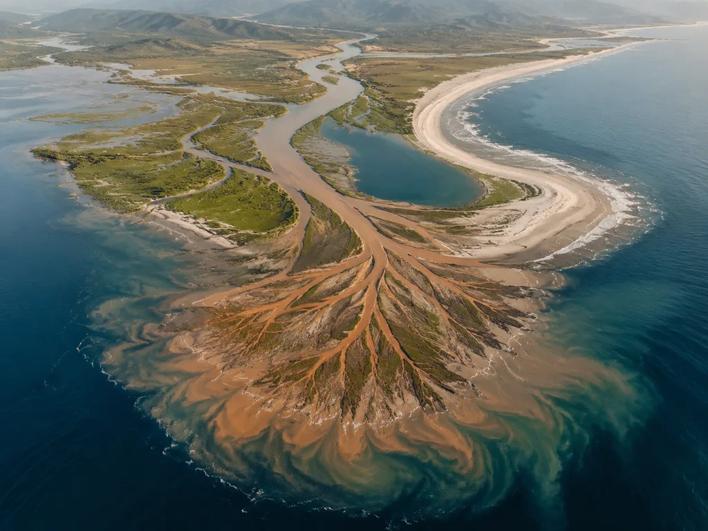
Verify: bird-foot = river-dominated (Mississippi), arcuate = wave-influenced, estuarine = tide-dominated — arrows and shapes must match.
6. Cave formation sequence
A karst cross-section story: rainwater absorbing carbon dioxide, percolating
through limestone joints, enlarging them into caverns, stalactite and stalagmite
growth zones, and a collapsed sinkhole stage. Label "JOINTS", "CAVERN",
"STALACTITE", "STALAGMITE", "SINKHOLE". Title: "STONE AND WATER".
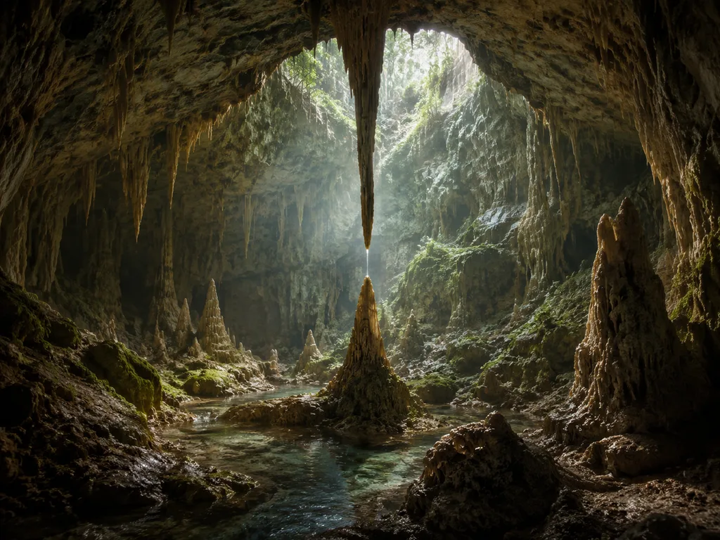
Verify: stalactites hang from ceilings ("c" for ceiling), stalagmites rise from floors; growth order follows water movement.
7. Permafrost thaw feedback
A permafrost feedback figure: warming ground thawing the active layer, ice lenses
melting into thermokarst ponds, trapped methane bubbling out, and the released
greenhouse gases feeding further warming in a loop-back arrow. Label "ACTIVE
LAYER", "THERMOKARST", "METHANE", "FEEDBACK". Title: "THE THAW LOOP".
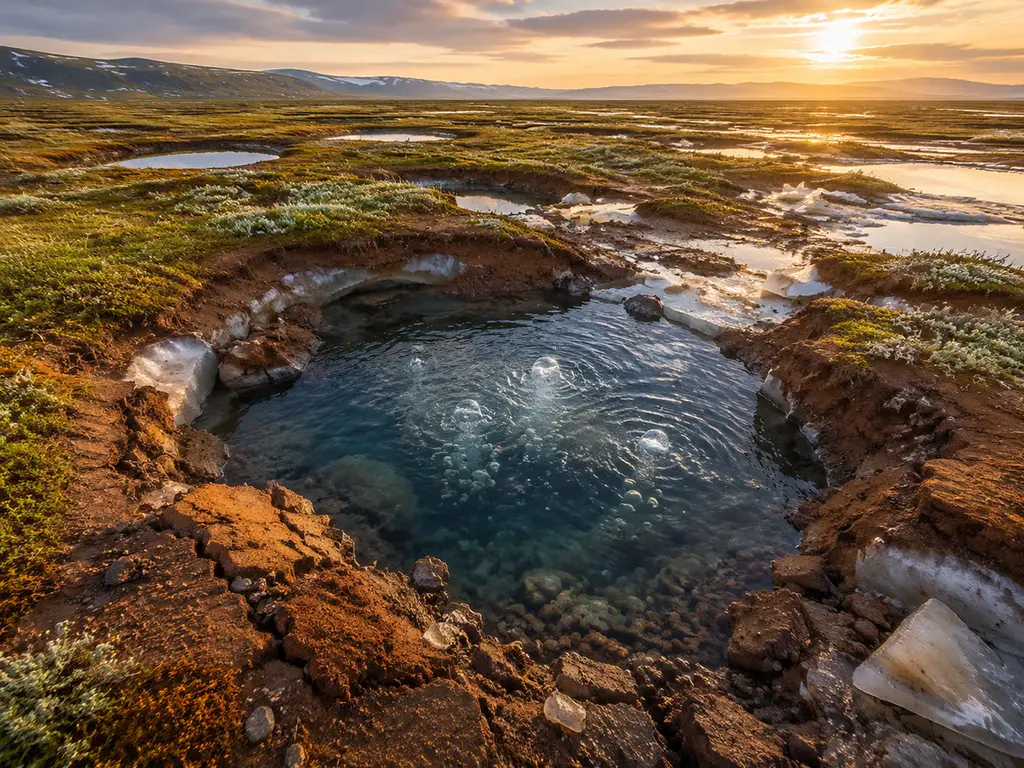
Verify: the loop must close — feedback arrows that don't return to the warming stage aren't a feedback.
The two cycles
8. The water cycle
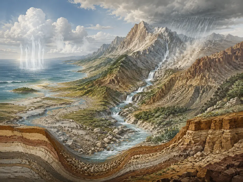
A full water-cycle plate: solar energy driving evaporation from ocean and lakes,
transpiration from plants, condensation into clouds, precipitation over mountains,
surface runoff joining rivers, infiltration to groundwater, and the ocean as both
start and end. Label "EVAPORATION", "TRANSPIRATION", "CONDENSATION",
"PRECIPITATION", "INFILTRATION". Title: "THE WATER CYCLE".
Verify: every arrow must follow gravity or energy correctly — runoff flows downhill, evaporation rises; transpiration belongs on the plants, not the water surface.
9. The rock cycle
A rock-cycle diagram: magma crystallizing to igneous rock, weathering and erosion
to sediment, compaction into sedimentary rock, heat and pressure to metamorphic
rock, and melting back to magma, with uplift arrows connecting surface and depth.
Label "IGNEOUS", "SEDIMENT", "SEDIMENTARY", "METAMORPHIC", "MELTING".
Title: "THE ROCK CYCLE".
Verify: arrows can skip states (sedimentary → metamorphic directly) but must never reverse entropy for free — sediment doesn't jump to magma without melting.
10. Erosion and soil profile
A soil-profile figure beside its forming processes: a soil column with O, A, B and
C horizons over bedrock, with raindrop impact, roots, and burrowing organisms
annotated, and a downslope erosion arrow removing A-horizon material.
Label "O HORIZON", "A HORIZON", "B HORIZON", "C HORIZON", "BEDROCK".
Title: "SOIL STORIES".
Atmosphere and sky
11. Cloud classification
A meteorological plate of the ten principal cloud genera arranged by altitude
band: high cirrus family, mid alto group, low stratus family, and vertical
cumulus column, each cloud with its altitude label. Label "CIRRUS",
"ALTOCUMULUS", "STRATUS", "CUMULONIMBUS". Title: "READING THE SKY".
Verify: nimbostratus is the misplacement magnet — it spans mid-to-low; cumulonimbus must cross bands vertically.
12. Aurora mechanism
An aurora mechanism figure: solar wind particles funneled by Earth's magnetic
field toward the polar ovals, collisions in the upper atmosphere exciting oxygen
and nitrogen, and the resulting green and red curtains seen from the ground,
plus a height-versus-color scale. Label "SOLAR WIND", "MAGNETIC FIELD", "OXYGEN",
"NITROGEN". Title: "SKY ON FIRE".
Ten quick variants
| # | Topic | One-line change |
|---|---|---|
| 13 | Watershed | "A watershed map-style figure with drainage divides, tributaries joining a main river… Label 'DIVIDE', 'TRIBUTARY', 'FLOODPLAIN'" |
| 14 | Groundwater | "A cross-section with water table, saturated zone, wells and a cone of depression… Label 'WATER TABLE', 'SATURATED ZONE', 'RECHARGE'" |
| 15 | Beach longshore drift | "A coastline plan view with waves striking at an angle and sediment moving alongshore… Label 'LONGSHORE DRIFT', 'SPIT'" |
| 16 | Geothermal gradient | "A borehole cross-section with temperature increasing with depth… Label 'GEOTHERMAL GRADIENT', 'CRUST', 'MANTLE'" |
| 17 | Carbon cycle | "A four-reservoir carbon cycle: atmosphere, biosphere, ocean, geosphere… Label each flux" |
| 18 | Hadley cells | "A meridional circulation cross-section of Earth's atmosphere with rising equatorial air and descending subtropical air… Label 'HADLEY CELL', 'ITCZ'" |
| 19 | Rift valley formation | "Three-stage continental rifting: dome, graben, nascent sea… Label 'DOME', 'GRABEN', 'RIFT VALLEY'" |
| 20 | Fossil preservation | "Four modes of fossil preservation: permineralization, cast, mold, amber… Label each" |
Scientific review checklist
- [ ] Are all labels spelled correctly?
- [ ] Are all requested structures present?
- [ ] Do cross-sections put things in the right order with depth?
- [ ] Do arrows show the correct direction (downhill, downwind, downslope)?
- [ ] Are cycles closed, with stages in the correct order?
- [ ] Has it been checked against a trusted source?
FAQ
Are cross-sections reliable from AI?
Yes for structure and relationships — layers in order, dikes cutting strata, arcs offset from trenches — because those are compositional facts the prompt can enforce. No for exact depths and thicknesses; if the numbers matter, they belong in your own annotation or a real drafting tool. Treat generated cross-sections as conceptually accurate, metrically schematic.
Why do arrows matter more in earth science than elsewhere?
Because half the discipline is flux and direction — water moving through a cycle, plates converging, energy driving weather — and a beautiful static scene with wrong arrows teaches the wrong model. Trace every arrow against the reference; this is also the #1 check in our life-cycle guide, for the same reason.
How do I show geological time honestly?
Don't — not to scale, and say so. A prompt like "five stages, not to scale, with a relative-time note" beats a fake-proportioned timeline. Where sequence matters more than duration, stage panels do the job; where duration is the point, use a real charting tool and let the AI figure carry the processes instead.
Map-style figures or cross-sections — which drafts better?
Cross-sections, clearly: their vocabulary (layers, intrusions, cutaways) overlaps the model's strengths. Plan-view maps with real geography are weaker — coastlines and locations are exactly the "precise geometry" class that belongs in real tools. Our engineering guide covers the same boundary from the machines' side.
Three cross-sections that teach the most
If you build one unit's figure set, build these three: the subduction anatomy (order with depth — slab, dewatering, arc), the volcano cutaway (dike vs sill — the perpendicular/parallel distinction), and the karst sequence (time as process — joints to cavern to sinkhole). Between them they exercise every skill this page teaches: relative positions, directional flux, staged time, and the six-label discipline. Each has its verify note above; each fails in a known, checkable way; and each maps onto a canonical exam question, which is why they repay the verification minutes forever. The examples gallery has the full cross-discipline set for the same purpose.
Next
Run these in the earth-science presets. More packs: physics & engineering · chemistry · biology · life-cycle diagrams.
<!-- scientific-illustration-cluster-links:start -->
Continue through the scientific illustration collection
Create a scientific illustration · Browse the scientific illustration resource hub
Related: 15 Chemistry and Laboratory Diagram Prompts (With Examples) · 20 Physics and Engineering Diagram Prompts: Forces, Circuits, Gears
<!-- scientific-illustration-cluster-links:end -->